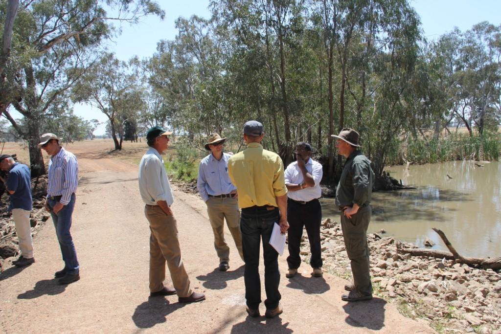
LRWG on site inspection trip 8 November 2013 discussing the effect of Burrawang West Weir on inundation regimes (Image: Jo Lenehan, LLS)
The construction of Bumbuggan Weir (low-level rock causeway structure) and the associated supply channel in the 1890s resulted in Burrawang West Lagoon becoming an almost permanently inundated wetland. The permanency of the wetland has lead to the development of habitats that support a wide variety of wetland dependent species and during droughts the lagoon has served as a refuge site. Water levels within the creek system and in the lagoon are maintained by a weir on Goobang Creek, immediately downstream of the junction of Goobang and Yarrabandai creeks. When full, water flows over the weir and creates a series of shallow, temporary pools within the downstream section of Goobang Creek. In 2006 DI&I (Fisheries) released Purple-spotted Gudgeon into the lagoon in recognition of the reliability of its inundation.
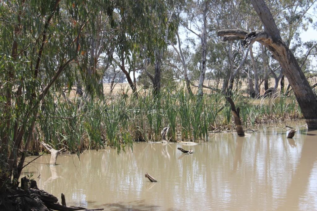
Weir pool (and fringing vegetation of Cumbungi and River Red Gums) adjacent to the Burrawang West Weir at the western edge of the lagoon system, which prior to installation of regulator, permanently held water (Jo Lenehan, LLS, 8 November 2013)
In January 2013 a regulator and meter was installed at the offtake from the Bumbuggan Creek. The regulator and meter installation was funded by Office of Environment and Heritage so as to enable proper ordering and accounting for any environmental water ordered for the wetland. Components within Burrawang West Lagoon prior to the installation of the regulator in January 2013 included open water, channel and shallow macrophyte-dominated areas, within an area of around 21 ha. The weir pool is the deepest area of Burrawang West Lagoon (estimated to be 3 m). It has potential to provide an extensive habitat that can serve as a drought habitat for waterbirds and fish. It may also be used as a refuge habitat by frogs, which are not as mobile as waterbirds and whose survival is threatened by prolonged dry phases (Wassens et al., 2007).
In February 2013 flows into the lagoon via the inlet canal ceased with construction of the regulator, and the lagoon contracted back to its core area with the semi-permanent and ephemeral wetland areas of the Goobang, Yarrabandai and Un-named creeks drying down.
In May 2013, 150 ML of water was provided from NSW environmental water accounts to replenish levels in the lagoon. This flow also served to increase understanding of the capacity and volumes/duration needed to be ordered through the regulator to achieve inundation of the lagoon in any future events. The Burrawang West Wetland Management Plan is still in draft form and is not a public document, however, a copy may be requested through Local Land Services.

Aerial view of Burrawang West Lagoon (Image: Burrawang West Wetland Management Plan 2011, Local Land Services)