Regulators within the Lake Brewster system were opened to enable the largest use of environmental water in the Lachlan so far to commence on Friday 7 June 2013. The flow comprised licensed water entitlement held by the Commonwealth and State governments, with respective contributions of approximately 73, 000 and 15, 000 megalitres.

Figure 1 Moon Moon Swamp: environmental flow at approximately peak level, July 2013 (Paul Packard, OEH).
The Lower Lachlan Environmental Flow aimed to replenish key wetlands and swamps located south-west of Hillston, including the Lower Lachlan, Great Cumbung, Moon Moon (Figure 1), and Baconian swamps, as well as Lake Ita and Lake Waljeers. Up to 15, 000 hectares of River Red Gum, Black Box, Lignum and other important wildlife habitat and refuge stand to benefit from the environmental flow.
This environmental flow was developed out of potential watering sites and objectives determined during the Annual Watering Plan process conducted by Office of Environment and Heritage (OEH), and in consultation with the Lachlan Riverine Working Group and Commonwealth Environmental Water Office (CEWO). This follow-up watering of key assets on, and functions and values of the effluent creeks of the lower Lachlan during the cooler months was undertaken to support the critical early stages of vegetation recovery evident at the sites as a result of environmental water delivered in 2011 and past flood events.
The release from the Brewster system is complete and preliminary observations as of 17 July 2013 saw water in most creeks and flood runners on the south-side of the Lower Lachlan Swamp. On the north-side, water has spread out within lower creek channels and flood runners on Little Lake and north of Lake Waljeers (Figure 2).
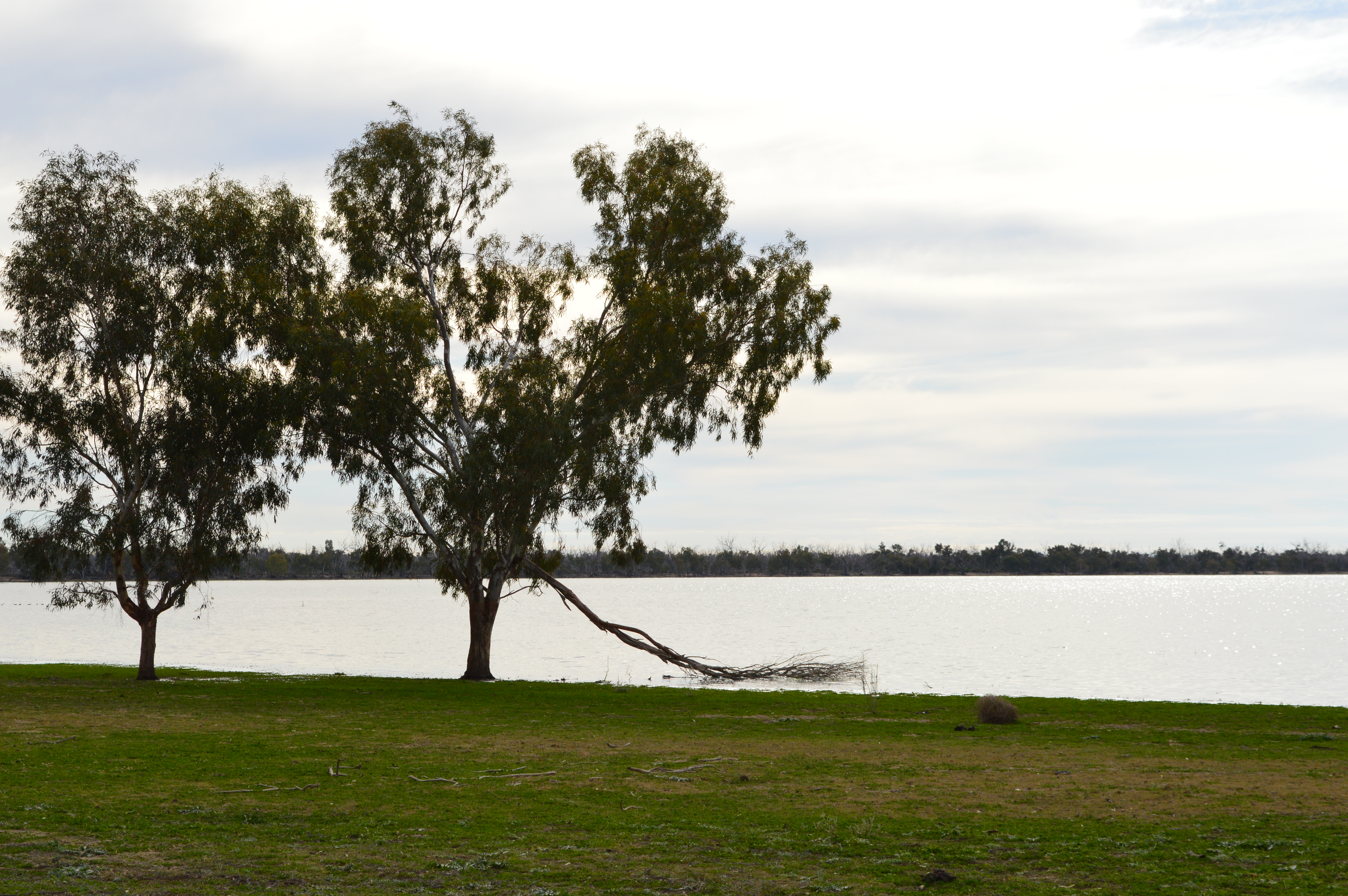
Figure 2 The large, shallow depression or open water area of Lake Waljeers after receiving environmental water (Image: Daniel Rothenfluh, CEWO, 10 July 2013)
On the 28 August 2013, senior staff from the Office of Environment and Heritage (OEH) Regional Operations Group and the Commonwealth Environmental Water Office (CEWO) conducted an aerial or visual inspection of the Lower Lachlan Environmental flow. A selection of aerial photography from that trip were compiled by the CEWO to create the photo gallery style video titled “A bird’s eye view: Environmental watering in the lower Lachlan River catchment”, which has been published on the Australian Government’s Department of the Environment YouTube channel.
A bird’s eye view: Environmental watering in the lower Lachlan River catchment.